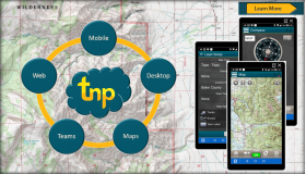
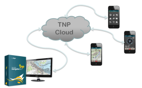
Terrain Navigator Pro is a robust mapping platform combining built-in topographic maps and aerial photos with easy-to-use mapping tools. Create map projects, annotate, edit, collect, import and export GIS data and maps and synchronize across desktop, web, and mobile devices. Output professional map products quickly and easily.
- Subscription Pricing is on a per State basis and includes access for registered users to download software, map layers, and optionally premium content.
- Media is available. Extra shipping and handling charges do apply. Contact us to request a price quote if you require receiving DVDs.
- TNP is licensed by State or multi-State region (for New England and Mid-Atlantic States).
- Premium Ownership is available for an additional $120 for each state and requires an active state subscription.
Maps
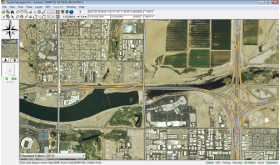
Terrain Navigator Pro (TNP) comes bundled with high-resolution scans of USGS topographic maps, current aerial photographs and satellite images, and a detailed street layer. Don’t waste time finding base maps for your project: get mapping in minutes with everything you need to get started, and quickly add your own overlays and base maps.
Software
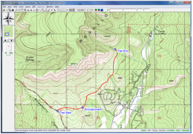
TNP includes powerful and easy to use software. Customize maps and photos with labels, marks, symbols, lines, routes, tracks, area fills, GIS data sets, and more. Use the built-in printing and publishing to create digital and paper prints with text, logos, inset maps, legends, etc. Layers, maps, and photos can be exported to be used in other GIS and CAD software or image editor.
Mobile App
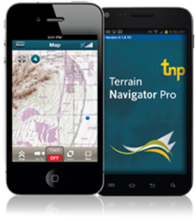
Take advantage of your smartphone's GPS receiver to bring one less piece of equipment into the field. Use the TNP mobile app to find, collect and share annotated aerial or topo maps. A mobile connection will enable you to synchronize these annotated maps with TNP desktop, or you can store the maps to download once you are back in cell coverage or Wi-Fi. Compatible with Android and iOS.
Web and Cloud
Synchronize maps and data between the desktop software and mobile app automatically. Push maps and projects to your mobile device, or synchronize field notes with the desktop so your field project is waiting for you when you return to the office.
Single or Multi-User Configurations
With multi-user accounts you have all the power of TNP desktop and mobile, but with added team collaboration, sharing, and multi-user project development. Track teammate positions in real time for simultaneous display on desktop and mobile devices. Annotate maps for individual or team use from anywhere whether in the field, in the office or on the go from any TNP device. Control the administrative privileges by customizing the number of users as the needs of your organization evolve.
Parcel Data on the Desktop
Terrain Navigator Pro now contains the option to show parcel boundaries* on the desktop as part of a yearly parcel data subscription. Once downloaded to the desktop, parcels can be searched and shown on the desktop without an Internet connection.
The yearly parcel data subscription includes private land ownership details such as:
- Private land boundaries polygons
- The landowner's name and address*
- Assessor's parcel number (APN)
*Private land boundaries should not be considered a legal survey and should only be used for informational purposes. Private land ownership details and boundaries not available in all cities and towns.
- No
- Aerial Photos
- Private Land Boundaries (Optional Add On)
- USGS Topo Maps
- Yes
- Yes
- Optional Add-On
