My Account
Orders
Comparison list
Wish list
Track my order(s)
Track my order(s)
Anti-bot validation
Sign in
Register
Email
Password
Forgot your password?
Register for a new account
Anti-bot validation
Sign in
Remember me
Mon-Fr 9a.m.-5:30p.m.
Request call
My cart
Cart is empty
Cart is empty
View cart
Checkout
Menu
Product Categories
All Products
Bluetooth GNSS Receivers
Handheld Computers with GNSS
Laser Measurement Solutions
Navigation & Mapping Software
Seco Products
Outdoor Writing Products
Ricoh Camera Accessories
Mapping & GIS Products
Spectra Geospatial
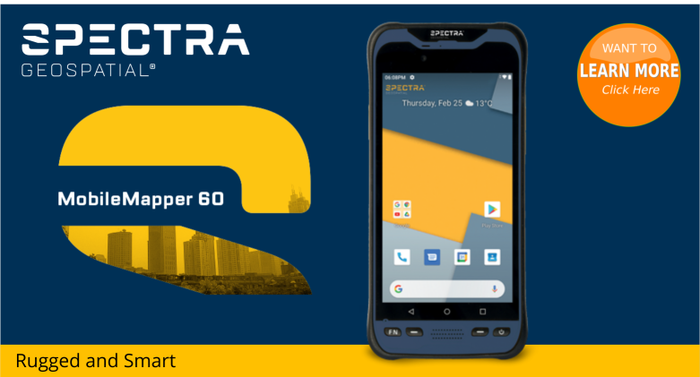
MobileMapper® 60
SP60 GNSS Receiver
Image Compression & Management
Extensis GeoExpress Annual Subscription
Extensis GeoExpress Single User License
Extensis GeoExpress Floating License
Laser Measurement
Laser Technology Pro Lasers
Spike For Smartphones & Tablets
Survey Products
Spectra Geospatial
SP85 GNSS Receiver
Survey & Mapping Accessories
GNSS Antenna Mounts
Bags and Cases
Rods/Poles - Bipods - Tripods
Pole Clamps and Brackets
Best Sellers
Sales
Popular Products
Save 25%
Ricoh 700SE & 800SE Desktop Battery Charger with Car Adapter - CA300
$
20.00
$
15.00
Quick view
Save 67%
Ricoh 500SE High Quality DB-43 Li-ion Replacement Battery 1950 mah - BA200
$
15.00
$
5.00
Quick view
Save 46%
Ricoh 700SE & 800SE High Quality DB-65 Li-ion Replacement Battery 1250 mAh - BA300
$
18.50
$
10.00
Quick view
Save 37%
Ricoh 500SE Desktop Battery Charger with Car Adapter - CA200
$
19.00
$
12.00
Quick view
Save 15%
Spike For Smartphones
$
499.00
$
425.00
Quick view
Nº 97 Black Ink Tactical Clicker All Weather Pen
$
18.95
Quick view
Save 20%
Spike For Tablets
$
499.00
$
399.00
Quick view
Terrain Navigator Pro Subscription
$
240.00
Quick view
Save 10%
X-GRIP 2 FOR 7" TABLETS
$
69.95
$
62.95
Quick view
Save 10%
Flagging Dispenser
$
26.95
$
24.25
Quick view
HUNT Elite 1 YR Membership
$
99.99
Quick view
Save 10%
Swiss-Style Quick-Release Adapter with 1/4 x 20 Threads
$
18.95
$
17.08
Quick view
Sale
Save 67%
Ricoh 500SE High Quality DB-43 Li-ion Replacement Battery 1950 mah - BA200
$
15.00
$
5.00
Quick view
Save 46%
Ricoh 700SE & 800SE High Quality DB-65 Li-ion Replacement Battery 1250 mAh - BA300
$
18.50
$
10.00
Quick view
Save 37%
Ricoh 500SE Desktop Battery Charger with Car Adapter - CA200
$
19.00
$
12.00
Quick view
Save 25%
Ricoh 700SE & 800SE Desktop Battery Charger with Car Adapter - CA300
$
20.00
$
15.00
Quick view
Save 20%
Spike For Tablets
$
499.00
$
399.00
Quick view
Save 15%
Spike For Smartphones
$
499.00
$
425.00
Quick view
Save 10%
Lightweight Sharp Point with Replaceable Tip
$
10.95
$
9.85
Quick view
Save 10%
Bipod Leg Clip
$
14.95
$
13.45
Quick view